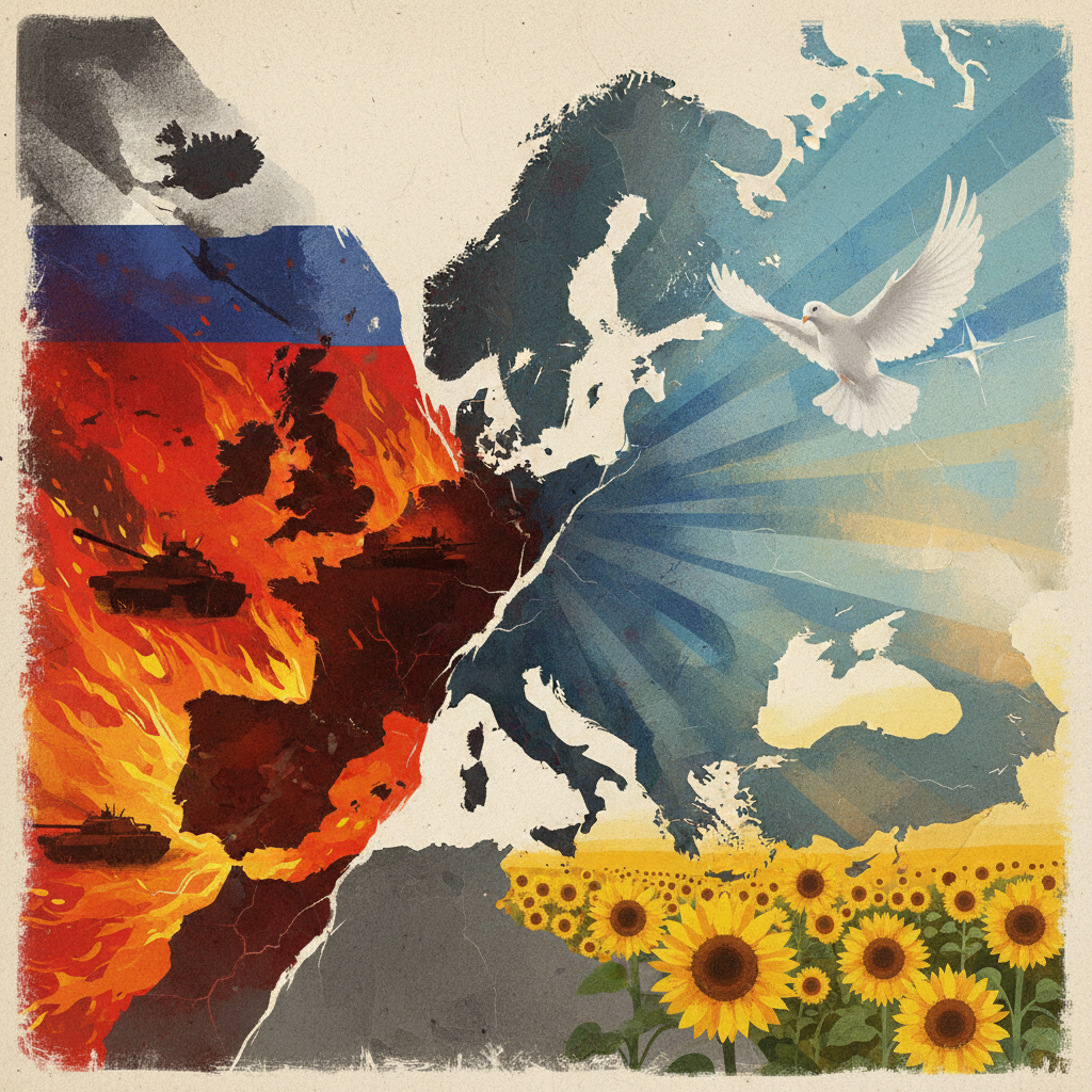
The Geopolitical Landscape and Conflict Dynamics
The full-scale invasion of Ukraine by Russia, initiated in February 2022, continues to reshape the global geopolitical landscape. The conflict is characterized by entrenched positions, strategic aerial campaigns, and persistent ground engagements. International attention remains focused on the humanitarian impact, energy markets, and the broader implications for European security architecture. Geopolitical intelligence tracking indicates the current influence score for the conflict zone stands at 38/100, suggesting neither belligerent maintains overwhelming control across the entire operational theater. This score underscores a deeply contested environment where control is fragmented and shifts frequently, requiring continuous monitoring for accurate representation on any live map.
Key Activity and Intelligence Signals
Analysis of signal volume highlights the primary actors and dominant forms of engagement. GeoGazet tracking shows Russia with 49 tracked signals and Ukraine with 35 tracked signals, reflecting the intensity of direct military confrontation between the two nations. A significant number of these signals, 12 in total, relate specifically to "Missiles & Strikes," indicating the prevalence of long-range and precision attacks as a critical component of the war. The total tracked events in the GeoGazet graph number 55, further emphasizing the constant stream of developments.
Recent intelligence signals provide specific insights into ongoing operations and emerging threats. One GeoGazet report states, "Ukraine’s Intermediate-Range Strike Campaign," evidencing Ukraine’s efforts to target Russian assets and logistics deeper behind front lines. Concurrently, another signal notes, "Missile and drone strikes kill eight in Russia and Ukraine," illustrating the reciprocal nature of these aerial attacks, often impacting civilian areas and critical infrastructure in both countries. Furthermore, regional stability remains a concern, with GeoGazet tracking indicating, "Leaders keep a wary eye on Belarus for signs it might offer Russia help in Ukraine," suggesting potential expansion or new fronts that would significantly alter a live map display.
Historical Context and Modern Warfare
Historically, prolonged conflicts with shifting frontlines, similar to phases of the Korean War or the static yet dynamic Western Front in World War I, have always necessitated intelligence for situational awareness. The modern Ukraine War, however, integrates advanced digital tracking and satellite intelligence, allowing for a more granular and near real-time visualization than previously possible. While the underlying strategic objectives and attritional warfare tactics may echo past conflicts, the speed and breadth of information available for mapping represent a significant evolution in conflict intelligence.
What to Watch For Next
Observers should closely monitor for shifts in the influence score, which will indicate changes in territorial control or operational momentum. The volume and targeting of "Missiles & Strikes" will remain a critical indicator of strategic priorities and potential escalations. Any significant increase in signals related to Belarus would suggest a notable shift in regional involvement, potentially opening new axes of conflict. The continued efficacy of Ukraine’s strike campaigns will also be key, as will Russia’s responses, all of which will be reflected in the dynamic data underpinning any live map of the conflict.